Communities
Tigray Region
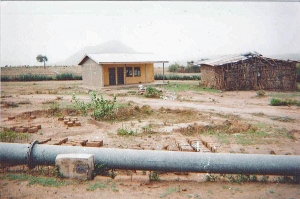
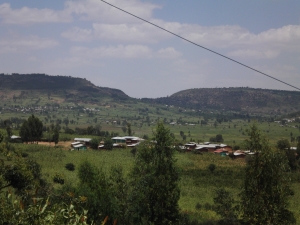
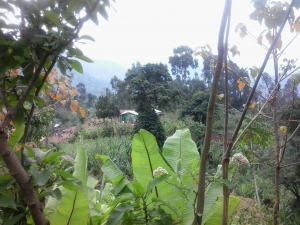
Geblen, East Tigray
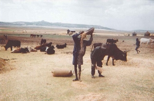
Geblen is not far from the Eritrean border on the edge of the escarpment; farmers produce livestock and grain. But rain failure is frequent resulting in dependence on PSNP and high levels of migration; in early 2010 more than 40% of households were headed by women. The residents were a mix of Irobs and Tigrayans who followed three religions: Orthodox Christianity, Islam and Catholicism…read more.
Harresaw, East Tigray
Harresaw is a chronically food insecure and PSNP-dependent community on the edge of the escarpment bordering Afar; farmers produce grain and livestock. Following the severe drought of 2008 illegal migration to Saudi Arabia accelerated, which contributed to improving living standards. In late 2011 all inhabitants were Tigrayan Orthodox Christians…read more.
Amhara Region
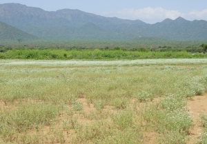
Shumsheha, Lasta
Shumsheha is near Lalibela and has lost land to the airport. Traditional crops include tef, maize and sorghum. The area is drought-prone and in late 2011 the community depended on PSNP, although new irrigated vegetables and fruit were improving some living standards. All residents were Amhara and most Orthodox Christians; there were 80 Muslim households…read more.
Yetmen, Gojjam
Yetmen town (2,896 popn 2005) is on the main road between Dejen and Bichena. It is surrounded by rural Yetmen, a relatively wealthy community which has long exported tef to Addis Ababa and which, in early 2010, had recently started growing irrigated vegetables. The inhabitants were all Amhara Orthodox Christians…read more.
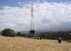
Kormargefia, North Shewa
Kormargefia straddles the main road from Addis Ababa to Debre Berhan. Livestock and their products have long played a prominent role in the local economy, wheat and barley being mainly grown for consumption. In 2013 irrigated vegetable production was increasing. Young people migrated for work to Debre Berhan and Addis Ababa and recently female migration to the Gulf had started. All were Orthodox Christians; 5% were long-integrated Oromos and the rest Amharas …. read more
Dinki, North Shewa
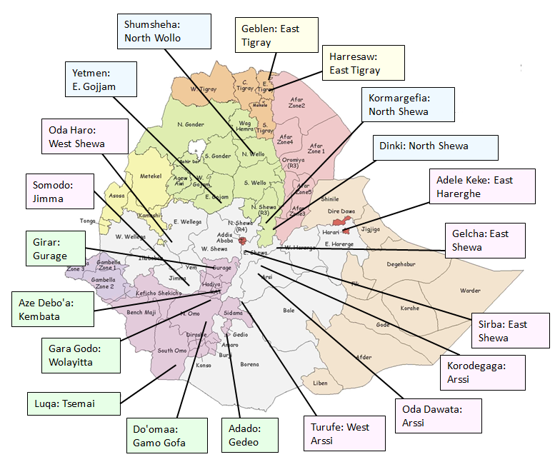
Dinki is remote lying low down on the escarpment not far from the road from Ankober to Afar region. In 2010 both the main road and the access road to Dinki were in poor condition. The community has been chronically food insecure and reliant on regular Emergency Food Aid for many years, although in 2010 improving irrigation was raising living standards for some. Two-thirds of the population were Argobba Muslims and the remainder Amhara, mostly Orthodox Christians …. read more
Oromiya Region
Sirba, East Shewa
Sirba straddles the Mojo-Addis Ababa road and borders the new Addis Ababa Adama expressway; the new railway will pass nearby. Tef and chickpeas have been cash-crops for many years. In 2013 a large irrigation project was planned and rapid industrialisation and urbanisation spreading from Bishoftu were bringing new opportunities for sale of livestock and their products, non-farm business and employment and raising land prices…read more.
Korodegaga, Arssi
Korodegaga is on the other side of the Awash from Sodere; in early 2010 there was no bridge and access was difficult. Maize and tef were regularly hit by drought though various irrigation projects producing vegetables and grain were improving living standards for some. The PSNP was important. International migration had just started. All residents were Arssi Oromo Muslims…. read more
Oda Dawata, Arssi
Oda Dawata surrounds Gonde town on the Adama-Asella road. In 2013 the economy included potato, wheat and milk export to towns, commuting for local formal jobs, factory work and daily labour, and remittances from large and rising female migration to the Gulf. 70% were Oromo Muslims, 10% Oromo Orthodox Christians and most others Amhara Orthodox Christian. There were some religious tensions …. read more
Turufe, West Arssi
Turufe is 14 kms from Shashemene near the main road to Addis Ababa. In 2010 main features of the economy were export of potatoes and maize to Addis Ababa, commuting for urban daily labour, and female migration to Ziway flower farms. The majority were Oromo Muslims but there were significant minorities of long-term migrant families from north and south Ethiopia …. read more
Gelcha, Kereyu
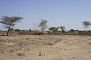
Gelcha is bordered by the Metahara sugar plantation, the Awash river, the Awash National Park, the main road from Addis Ababa to Dire Dawa, and the expanding salty Lake Beseka. In late 2011 75% of inhabitants were Karrayu who mainly relied on pastoralism (shoats, cattle and camels). Cultivation was growing in importance especially for non-Karrayu immigrants from Harar and surrounds some of whom used water from the plantation for irrigation, and there was a PSNP. Almost all were Muslims. …. read more
Adele Keke, E Harerghe
Adele Keke is made up of a 25 villages one of which borders the main Harar-Dire Dawa road. The main farm products are sorghum, maize and chat. It is drought-prone, has relied heavily on food aid for many years and in 2011 had a PSNP. Recently many farmers have been investing in irrigation to produce three chat harvests instead of one leading to improved incomes. There were a few long-assimilated Amharas among the Oromo Muslims …. read more
Oda Haro, West Shewa
Oda Haro is adjacent to a small market town on the road from Ambo to Nekemte which, in 2013, had recently been upgraded. Farmers exported maize and red peppers to Addis Ababa, and irrigated fruit and vegetables had recently been expanded by in-migrants working with local farmers who owned suitable land. Young women were increasingly migrating to Arab countries. All residents were Oromo; 60% were Protestants, 32% Orthodox Christian and the rest Muslims …. read more
Somodo, Jimma
One edge of Somodo borders Jimma town. In 2013 farmers grew coffee and maize and increasingly chat and eucalyptus. Inward investors leasing land had introduced irrigated vegetables for exports and were teaching local farmers the techniques. Young people migrated illegally to Sudan and young women legally to Arab countries. 81% were Oromo Muslims who were increasingly joining the wehabi sect. 18% were Yem who were mostly Protestants …. read more
Southern Region
Girar, Gurage
Girar borders expanding Imdibir with a few parts indistinguishable from the town. Livelihoods hadlong involved enset, cattle, and urban migration and in 2010 were increasingly supplemented by chat, eucalyptus and female international migration. Almost all inhabitants were Gurage; Orthodox Christians and Catholics pre-dominated but there were some Muslims and growing Protestantism….read more.
Adado, Gedeo
Adado is 25 km from Dilla on a poor road, making access during the rains very difficult. Enset and speciality coffee cover 95% of land. Good coffee prices 2005-11 led to diversification into trade, services, and livestock activities. Young men have been migrating for agricultural work and gold-mining for many years. In 2013 100% were Gedeo and 95% Protestant with the remainder being Muslim…read more.
Aze Debo’a, Kembata
Aze Debo’oa is 4 kms from the zonal capital of Durame on the main road north. In 2011 this road was in poor condition. The livelihood system included enset-based mixed farming, PSNP, increasing speciality coffee and eucalyptus, reducing seasonal agricultural migration, new and growing female migration to flower farms and cities and fast-rising illegal male migration to South Africa. All residents were Kembata and there were 11 Protestant churches, a few Orthodox Christians and one Muslim family. …. read more
Gara Godo, Wolayitta
Gara Godo is 12 kms from Areka town and 40kms from Sodo. In 2011 it had a small municipality at its centre. Farming involved enset, home gardens, subsistence grain, livestock, eucalyptus, and increasing speciality coffee. There was seasonal agricultural migration, urban migration and a few women had migrated to the Gulf. All residents were Wolayittan; 60% were Protestant in 5 sects, 36% Orthodox Christian and 4% Catholics. …. read more
Do’oma, Gamo
Do’oma is a lowland remote kebele adjacent to a small wereda town. It was settled in the 1980s with help from UNICEF. Drought often destroyed rainfed agriculture and in 2011 many depended on PSNP. Bananas, maize and vegetables were grown using river-fed irrigation. A new allweather road with two bridges was being completed. 70% were Gamo or Gofa, 15% Wolayittan and the rest recent immigrants from Amhara and Maale. …. read more
Luqa, Tsemai
Luqa kebele is bisected by the recently asphalted Jinka-Arba Minch road and is 21km from Key Afer. In 2011 the community relied heavily on livestock and their products and maize, sorghum and millet grown using traditional irrigation; they often needed Emergency Food Aid. 80% were Tsemay and 20%, mostly women, were Benna. Protestant conversion began in 2000 and by 2012 had reached 20% of the community .…. read more